Want to see climate change happening before your very eyes? Just take a look at the updated imagery on Google Earth Timelapse.
Google first launched Earth Timelapse in 2013, covering a span of imagery since 1984 to 2012. The company has now updated the tool with images up to 2016, and older imagery has been sharpened using the same technology Google implemented with Maps earlier in the year.
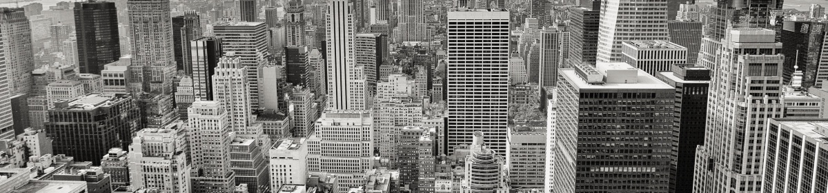
Google had to sift through three quadrillion pixels from more than 5,000,000 satellite images to create set of 33 images of the entire planet changing over time. It’s not all doom and gloom though; there are fascinating views of cities rapidly evolving too.
And if you really have some time to kill, you can watch it all on a 40 minute YouTube Playlist:
Our most detailed view of Earth across space and time on Google Blog
Read next: This Chrome extension replaces ‘alt-right’ with ‘white supremacist’
Napier Lopez is a writer based in New York City. He’s interested in all things tech, science, and photography related, and likes to yo-yo in his free time. Follow him on Twitter or his blog. Mail Tweet New York City, US 1795 43.77 All posts by Napier > The latest articles around GoogleShh. Here’s some distraction